
Cold front brings showers, possible lightning to Phoenix Tuesday as active week begins
The National Weather Service expects one- to two-tenths of an inch in the Valley, with heavier rain and wind in the high country.

The National Weather Service expects one- to two-tenths of an inch in the Valley, with heavier rain and wind in the high country.

A cold front brings showers and a chance of thunderstorms Tuesday, with snow for Arizona’s high country and cooler days ahead.

Sunny weather and highs in the upper 70s give way to scattered showers and storms in the Valley on Tuesday.

Light showers are possible in the Valley on Friday and Saturday, and a colder storm Tuesday could bring thunderstorms and snow down to 6,500 feet.
Phoenix will warm to about 86 degrees Thursday before rain chances arrive Friday night and Saturday, with up to an inch possible in northern and eastern Arizona.
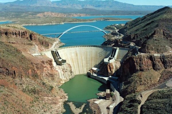
A wet October pushed SRP’s reservoirs from 53% to 70% full in under a week, and forecasters say showers could return to Arizona on Friday and Saturday.

The Valley will stay sunny with highs in the low to mid 80s through Veterans Day before a weekend low-pressure system brings 70s and a slight rain chance.

Phoenix will see highs in the low 80s through the week, peaking near 84 Thursday, before cooler temperatures and a slight rain chance next weekend.
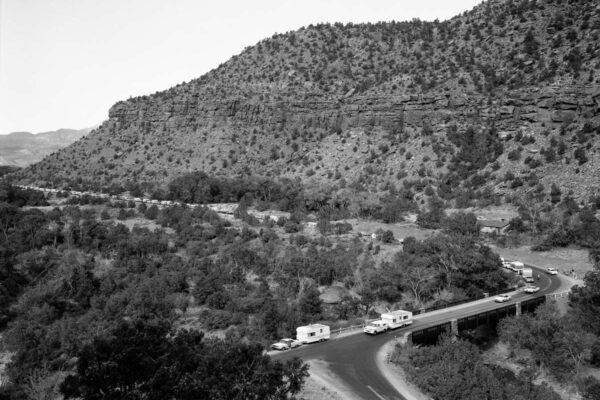
ADOT reopened SR 89A between Sedona and Slide Rock State Park; the road north to the Oak Creek Vista overlook stays closed with no reopening date.
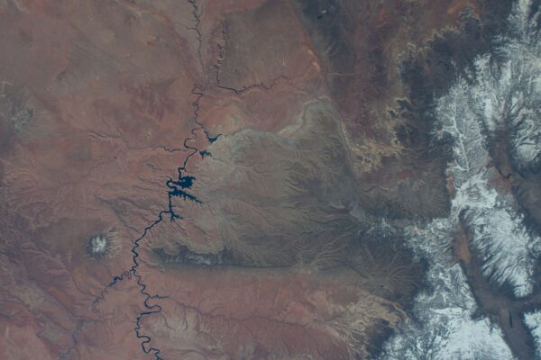
Lake Mead is up 2 feet too, but a University of Arizona expert warns years of drought ‘can’t just be erased in a couple of weeks.’