PHOENIX — Two Pacific storm systems are headed for Arizona this week, and Tuesday has been declared a First Alert Weather Day for rain chances across the Valley, according to the AZFamily First Alert Weather team.
Monday stays warm, with a forecast high of 81 degrees in Phoenix, about five degrees above average, as skies turn partly sunny by afternoon.
Rain chances arrive overnight. A cold front is expected to cross the state Tuesday morning, bringing bands of showers and a chance of thunderstorms. The best window for rain in the Valley runs from the early morning into early afternoon.
Forecasters said Valley showers likely will not be heavy and widespread flooding is not expected. Tuesday will be breezy and cloudy with a high near 73 degrees.
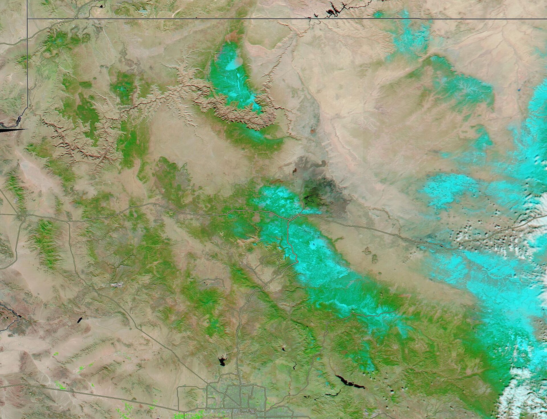
In the high country, snow levels start near 9,000 feet but should fall to 6,500 to 7,000 feet by Tuesday night, with light accumulation possible.
A second system Thursday could bring snow showers down to about 6,000 feet, with slick, icy mountain roads possible Friday morning. It may also bring a few Valley showers Thursday night, though chances are slim.
Cooler air sticks around behind the storms, with a high of about 70 degrees Friday and low 70s for the weekend. Drivers heading north should check conditions before traveling.
Sources: AZFamily. Thee Arizona Times uses AI-assisted reporting reviewed against the sources listed.
Photo: MODIS Land Rapid Response Team, NASA GSFC / Public domain via Wikimedia Commons.