
PHOENIX — A cold front sweeping across the Southwest is expected to bring showers and possibly some lightning to the Phoenix area Tuesday, the first of several systems in what forecasters call an “active pattern.”
The front should cross the metro area from late morning to early afternoon, National Weather Service meteorologist Ted Whittock told KTAR News.
“Could see some scattered showers out ahead of that front and then as that front moves through, maybe a broken line of showers. Can’t rule out some embedded lightning with that, as well,” Whittock said.
Most of the Valley will likely get one- to two-tenths of an inch of rain, he said. Higher terrain north of Phoenix should see heavier totals and winds strong enough to affect high-profile vehicles.
Valley temperatures are forecast to range from the low 50s to the low 70s.
The active pattern is expected to continue through the weekend before conditions may calm down for Thanksgiving week, with near-normal temperatures and precipitation favored, according to the weather service.
Drivers heading north should check road conditions before traveling.
Sources: KTAR News. Thee Arizona Times uses AI-assisted reporting reviewed against the sources listed.
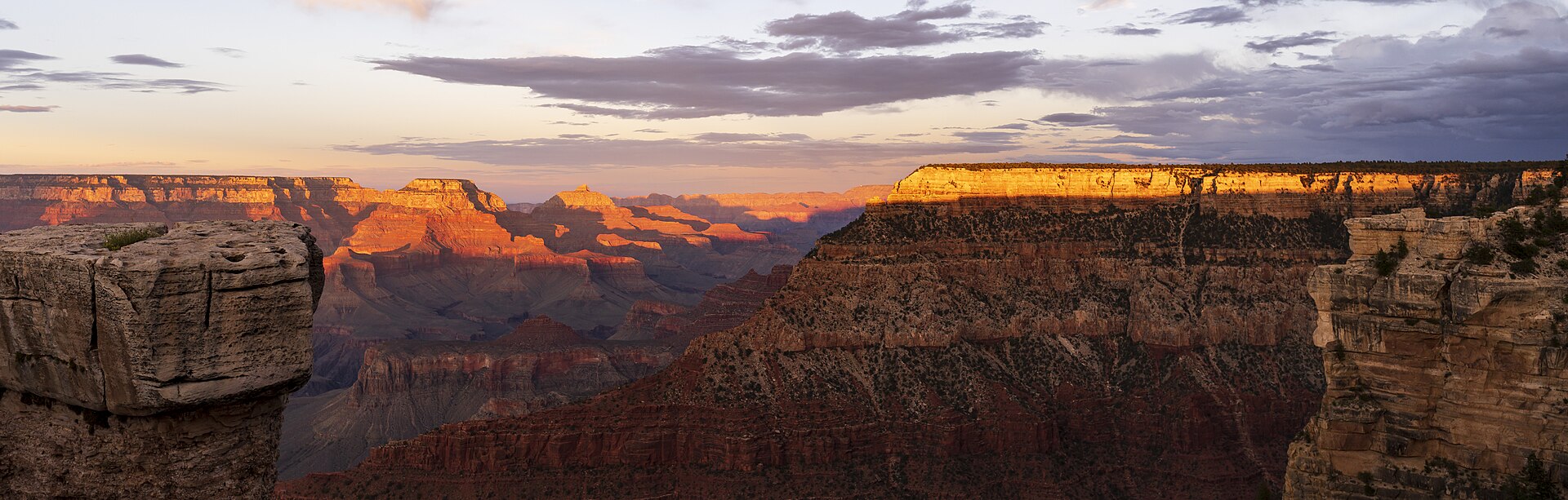
Photo: Unknown / Public domain via Wikimedia Commons.